What’s a Superfund site, anyway? Here’s a basic breakdown
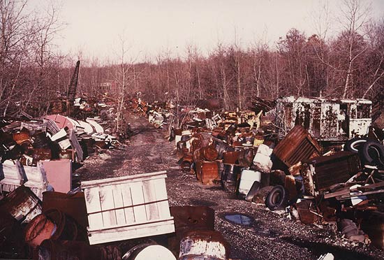
Well, to answer your question — and pretty obvious from the photo — Superfund sites are not very pretty.
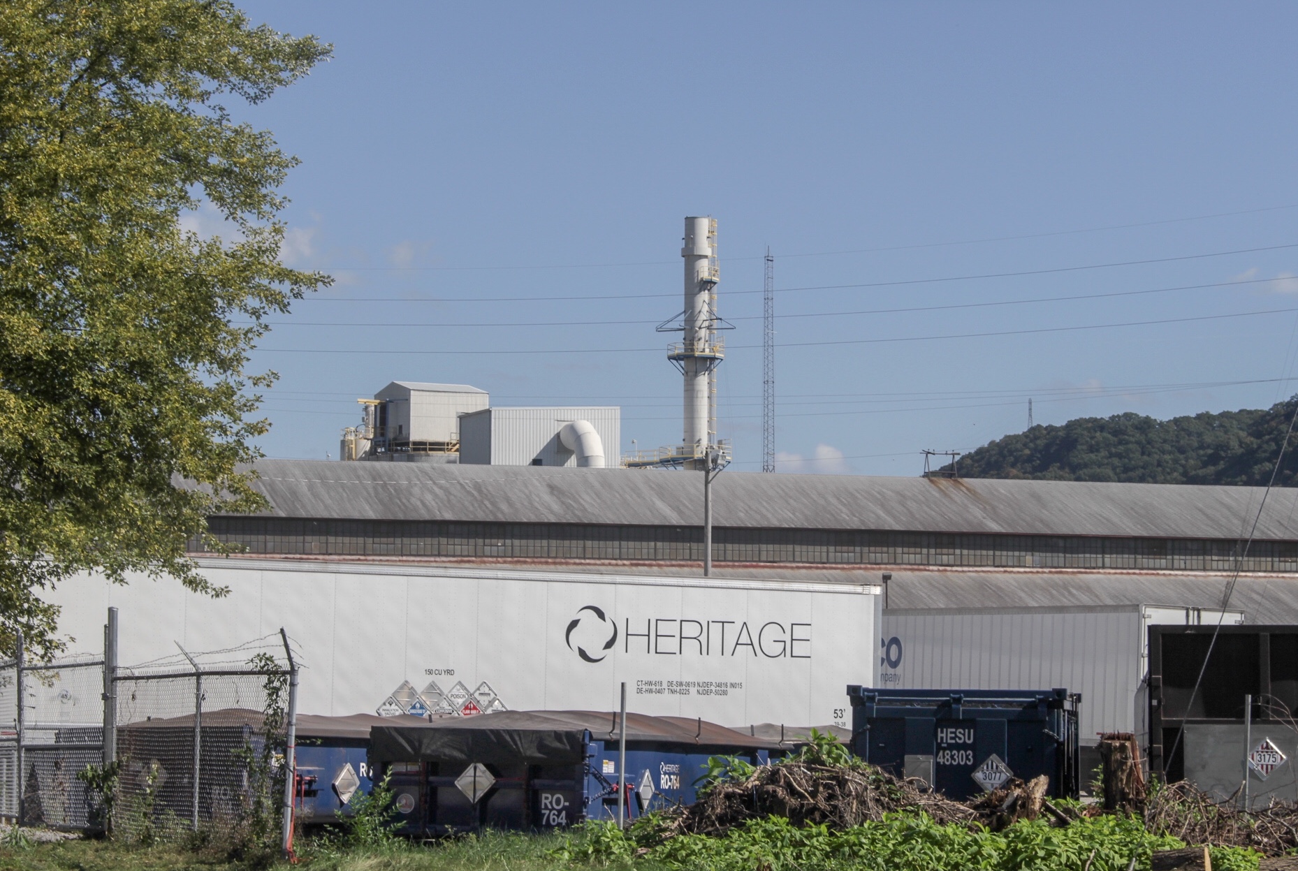
According to the Environmental Protection Agency’s website, Superfunds are “contaminated sites … due to hazardous waste being dumped, left out in the open, or otherwise improperly managed.” Most of the time, these are “manufacturing facilities, processing plants, landfills and mining sites.”
In 1980, Congress created the Comprehensive Environmental Response, Compensation and Liability Act (CERCLA) — better known as Superfund — after toxic waste dumps like the Love Canal and Valley of the Drums gained national attention for the risks they posed to the environment and the communities in the area.
The Superfund was established to pay for the cleanup of the most hazardous sites in the country. Superfund ensures the companies responsible for contamination take clean the site. If the company that caused the mess cannot clean the area on its own, it needs to provide the government all necessary funds for the EPA to handle the cleanup.
The National Priorities List (NPL) is exactly what it sounds like — a list of threatened, hazardous sites across the country. It helps the EPA stay organized and keep track of which sites require further investigation.
According to the EPA, there were 52 proposed Superfund sites, 1,340 NPL sites and 405 deleted NPL sites as of Sept. 12, 2018.
Currently, Ohio has 50 Superfund sites. It’s easier to think of them in categories, which include: proposed Superfunds, active Superfunds, completed Superfunds and deleted Superfunds.
Proposed: The EPA has studied these sites and has proposed plans for a cleanup.
Active: Cleanup for these Superfund sites remains in the works, but it has not been completed yet.
Completed: All of the construction necessary for proper cleanup of these sites has been built. These sites need to be maintained, some of them forever.
Deleted: These are sites removed from the NPL because cleaning efforts have been completed.
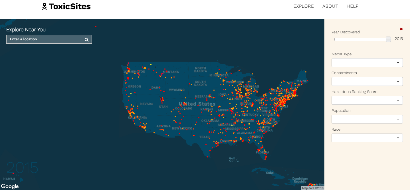
Toxic Sites, a data visualization application — basically, a map — is a great resource if you’re interested to see which Superfund sites are located close to you. To the right of the map is tool to filter information. For example, you can narrow down the Superfund sites you’re looking at by categories such as contaminants, hazardous ranking score and the number of residents who live in the area.
Some of the contaminants found at these sites are known to lead to illnesses and diseases. For instance, PCBs — polychlorinated biphenyls (a mouthful, I know), a group of man-made chemicals — can cause a variety of cancers. But I’ll save that for another blog post.
What if you live near a Superfund site and you don’t even know it? It’s possible, and if that’s the case, your community should be informed about it. Remember, the very reason Superfund was created in the first place was because the government realized the environment and health of Americans was suddenly a major concern.